Planning study news
The Washington State Department of Transportation, Northwest Region Mount Baker Area is conducting the Interstate 5 Skagit Transportation Study. We are evaluating current and future conditions on I-5 in Skagit County between the Old Highway 99 Interchange at Exit 224 and the Cook Road Interchange at Exit 232.
The goal of the evaluation is to identify near and long-term strategies and solutions to address multimodal safety and operational needs. This study is the first step toward identifying a long-term vision of multimodal investments that are needed to accommodate future growth and travel demands.
Purpose
I-5 between Mount Vernon and Burlington is a north – south portion of the interstate transportation network in Skagit County, powering the economy and providing a vital link to local businesses and regional markets by connecting people to jobs, goods and each other. To plan for future growth and multimodal operations challenges, WSDOT initiated the I-5 Skagit Transportation Study to address mobility, connectivity and safety issues.
Community engagement will play a central role in this study to ensure we understand and respond to the needs and concerns of those who use I-5 in Skagit County and regionally. We will share regular updates through our project website, emails, social media, and other channels to keep everyone informed about our progress and share opportunities to stay involved.
Planning study report
The I-5 Skagit Transportation Study (STS) Phase I report: I-5 Skagit Transportation Study Appendices (PDF 4.3MB)
Background
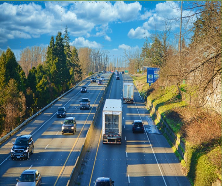
Interstate 5 is the primary north-south transportation corridor in Skagit County and is part of the National Highway System. The study area is in the urban areas of Mount Vernon and Burlington between the Old Highway 99 interchange at exit 223 and the Cook Road Interchange at exit 233. The study area is about 9 miles. The estimated population in the urban area was about 49,500 in 2019-2020 according to the Washington State Office of Financial Management.
I-5 is a four-lane divided interstate and consists primarily of 12-foot driving lanes and an 8-foot shoulder. The posted speed limit varies between 60 miles per hour and 70 miles per hour within the study area. The urban area posted speed limit is 60 miles per hour. There are eight interchanges within the corridor with a total of 30 ramps that provide access on and off the interstate to regional and local destinations. All interchanges are separated by one or more miles. Four interchanges carry traffic to four other state highway routes east and west of I-5. These routes include State Routes 536, 538, 20 and 11.
The Skagit River is a major barrier to access between the two communities of Mount Vernon and Burlington. There are only two north-south bridges across the Skagit River, the I-5 Skagit River Bridge (now formally known as the I-5 Trooper Sean M. O’Connell Jr. Memorial Bridge) and a local bridge known as the Riverside Bridge. The Riverside Bridge is parallel to I-5 and serves as the primary local corridor connecting the commercial areas between the communities of Burlington to the north and Mount Vernon to the south. The Riverside Bridge accommodates all modes of transportation including bicycles, pedestrians and transit.
Bicycles are permitted on a portion of the interstate in Burlington and Mount Vernon but are restricted across the I-5 Skagit River Bridge between the College Way Interchange exit 227 in Mount Vernon and George Hopper Road Interchange at exit 229 in Burlington. Additionally, many local streets in the urban area permit pedestrians, bicycles and other rollers. Skagit Transit is the primary service provider for transit services in Skagit County.